READING PA – Brian Campbell isn’t encouraging anyone to hug a tree. He’d be pretty happy, though, if you agreed to measure one … or more.
A former Reading area resident now relocated to the Delmarva Peninsula, Campbell is an earth scientist. He has spent more than two decades in the employ of NASA, the National Aeronautics and Space Administration.
Campbell admits some people find his role surprising. When NASA’s in the news the public generally sees, hears, or reads about rockets, satellites, and manned space flight. Not earth science. Certainly not tree measurement.
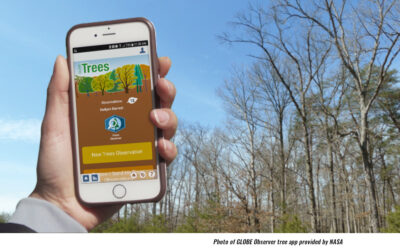
Yet Campbell, who works from an office at NASA’s facility in Wallops Island VA, spoke Friday afternoon (April 12, 2024) to an audience at the Reading Public Museum about trees and the value of measuring them. He also discussed how average citizens can use a NASA smartphone app to become tree-exploring scientists themselves, without ever leaving the ground.
Why measurements matter
Many years before the phrase “climate change” became familiar, brains at NASA determined that whatever happens to or with Earth could eventually affect the agency’s ability to learn what’s happening in space. It began launching satellites to photograph and measure the planet’s topographical features.
One satellite now performing that work is called ICESat-2, an acronym for Ice, Cloud, and Land Elevation Satellite 2. Its capabilities were the focus of Campbell’s talk. It uses GPS-directed light pulses (10,000 of them every second) to measure the height of almost everything: Antarctic ice sheets, city skyscrapers, and that 30-year-old maple still flourishing in your neighbor’s yard.
Why is the height of trees, or for that matter any vegetation, important?
ICESat-2 travels a planned path that covers the Earth about once every three months, accumulating four complete measurement comparisons annually. Its website reports that gauging vegetation growth or loss between those cycles can help determine how much carbon forests are either absorbing, or releasing, into the atmosphere.
Those calculations offer insight into the planet’s current and future health, and potentially that of its inhabitants. Campbell says comparison measurements of ice, clouds, and land forms hold similar value. When paired with images taken by another set of satellites, Campbell notes the ICESat-2 measurements become more readily understood, and in some cases more worrying, in exposing the effects of global warming.
Your yardstick: a NASA app
Members of the public won’t need to be on Wallops Island to help with the data collection effort, Campbell adds with a smile. All they need is an Apple IOS- or Android-powered smartphone, and what’s labeled as the GLOBE Observer app. Find links to either version at the GLOBE website.
Once GLOBE Observer is downloaded and installed, users create an account for themselves. Then the app allows them to estimate and record tree heights; observe and record cloud, weather, and atmospheric conditions; photograph, map, and classify land cover over property the size of a soccer field; or identify and map potential mosquito breeding grounds.
Everything needed for those tasks is in the app, which relies on the smartphones’ built-in equipment.
at Oswego, just off the shore of Lake Ontario in Oswego NY
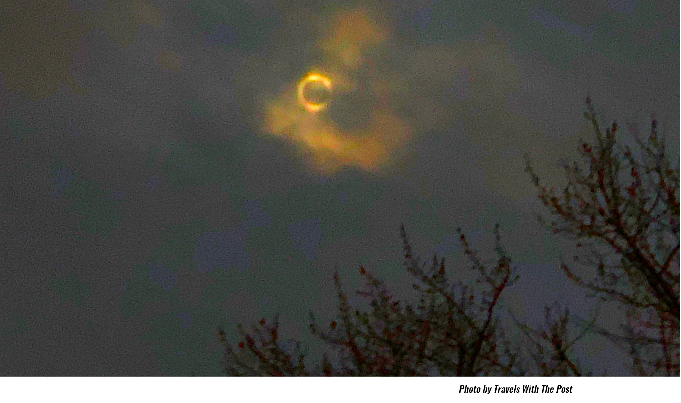
NASA combines GLOBE Observer data to supplement and enhance, or fill in gaps, of what its satellites supply. Users earn achievement badges for their efforts. They can participate in data collection by groups, such as school classes. New tasks also are periodically added to GLOBE Observer; most recently, users collected eclipse-related information during Monday’s (April 8) total solar eclipse.
The app is also secure, and adheres to NASA’s web privacy policy. No personal information is requested of or collected on basic account users other than an e-mail address and country of residence needed to create an account.
The only information that’s really important – and most wanted, Campbell repeats – is the height of that tree near you. Oh, and the one just beyond that.
Top photo of GLOBE Observer tree app provided by NASA
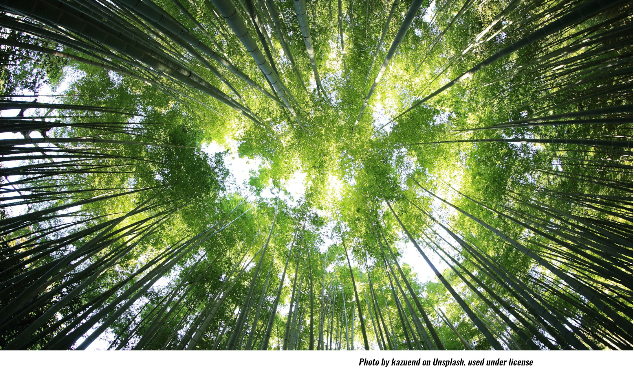
Trees skyward photo by kazuend on Unsplash, used by Travels With The Post under license
April 8 eclipse photo at SUNY Oswego in Oswego NY by Travels With The Post
 Advice as Allergy Season Starts Earlier, Lasts Longer